Residential Land For Sale
$9,200
Unnamed Road
Sierra Blanca, Texas, United States
11 acres
Listed By: Landcentury
Listed On: 09/13/2024
Listing ID: GL10759150
Description
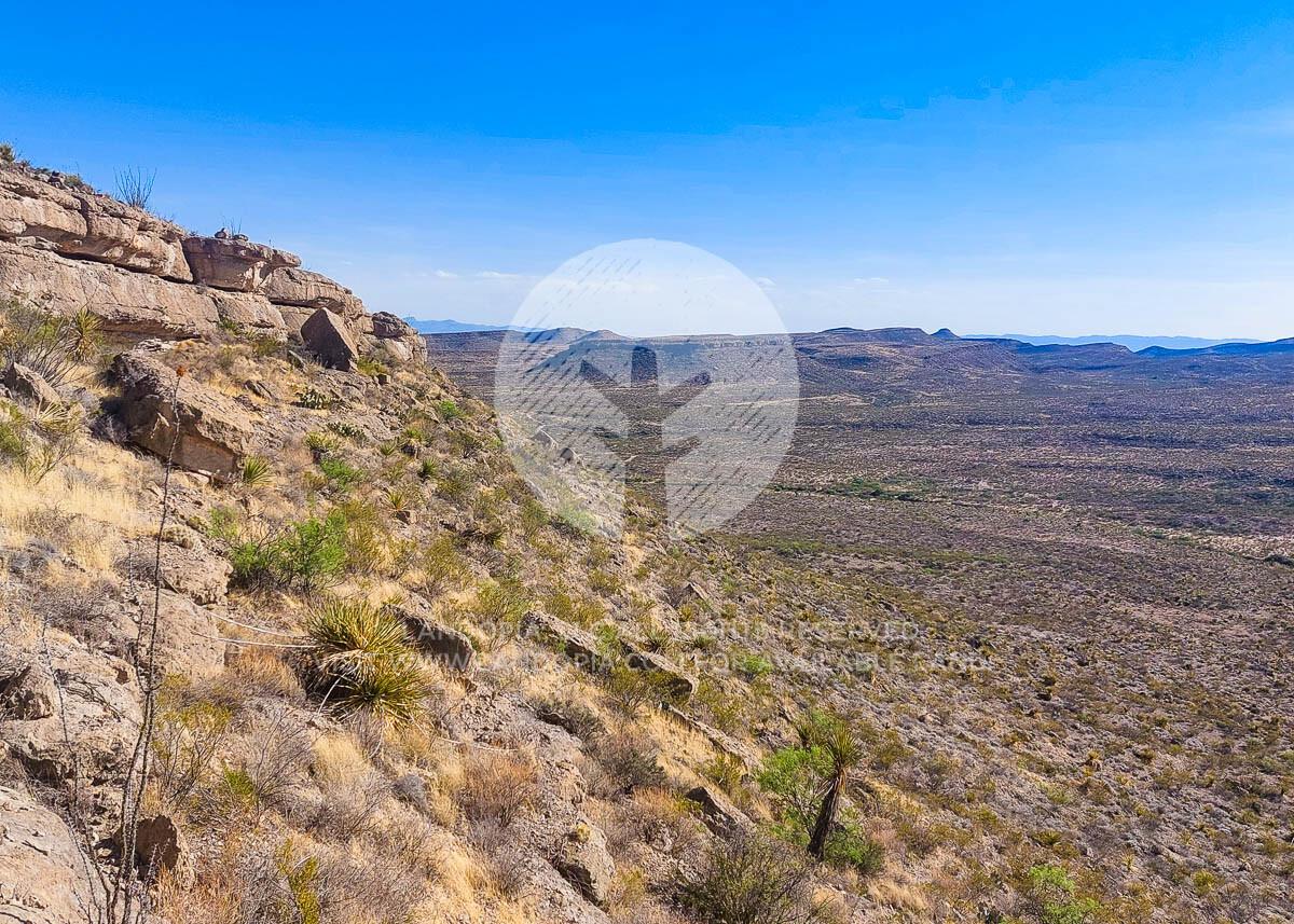
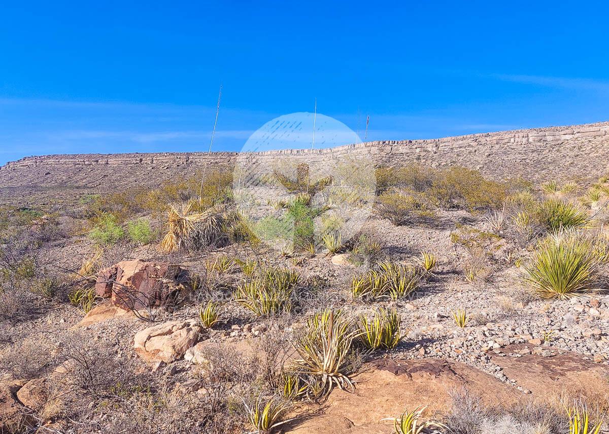
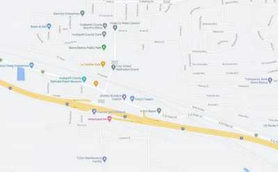
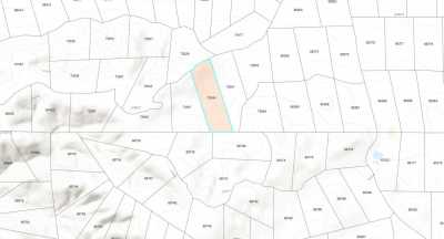
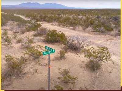
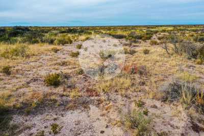
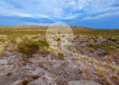
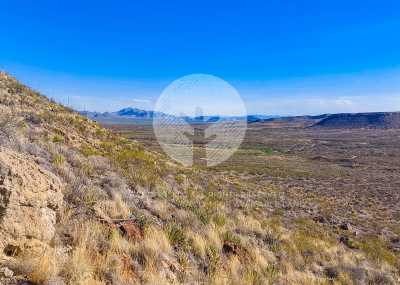
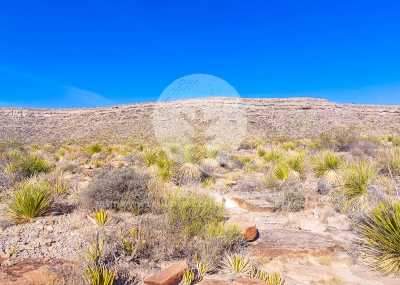
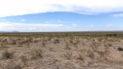
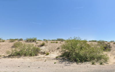
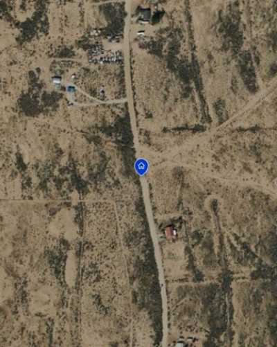
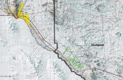
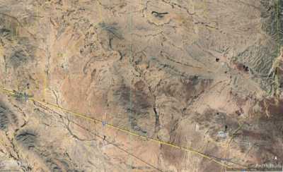
Situated just south of the New Mexico border – and close to the border of Mexico too – is the perfect recreational site to call your own. This lot is 10.65 acres, but if you’re looking for more land to have fun on, then there’s another lot just below that would double your acreage. Sun and mountain views as far as the eye can see make it the perfect home base to take in the surrounding great outdoors. This area of Texas in the Chihuahuan Desert is known for adventure. Area attractions include hunting, fishing, rock climbing and more. With 300 days of sunshine (that’s right, 300!) you have plenty of time to get in all the adventure you like. Hueco Tanks State Park and Guadalupe Mountains National Park are two of the most popular destinations to hike, rock climb, bird watch and go bouldering. There are no building restrictions in Hudspeth County, but this lot is a little tricky to access. We suggest using this as your home base for all the exploring you’ll want to do here in west Texas. Camp or RV on your property for as long as you like without any restrictions, just make sure you have a way to take the sewage out. Add the adjoining property (same size acreage) and reduce your monthly payment by $10 to $20 a month! SUBDIVISION: GUNSIGHT RANCH STREET ADDRESS: N/A, near Sierra Blanca, TX 79851 STATE: TX COUNTY: Hudspeth County, TX ZIP: 79851 SIZE: 10.65 acres LOT DIMENSIONS: 545 feet x 905 feet APN: 12457 LEGAL DESCRIPTION: Being part of Parcel No.: R12457Tract 1 less the South four-fifths (4/5) of Tract 1, being a portion of Section 2, Block 21, Public School Lands known as Gunsight Ranch, Lot A in Hudspeth County, Texas according to the map thereof on file in Volume 4 Page 17 File No. 67258, being a parcel measuring 866.37 by 523.308 feet and containing 10.648 acres, more or less.All minerals not heretofore reserved are to be conveyed with the land. GOOGLE MAPS LINK: https://goo.gl/maps/uFMjojaKc6D3gP8J6 LAT/LONG COORDINATES: NW: 31.3600, -105.5177 NE: 31.3600, -105.5148 SW: 31.3585, -105.5177 SE: 31.3585, -105.5148 ELEVATION: 4,646 ft ANNUAL TAXES: Approx. $98 per year ZONING: None - There is no zoning at this time in Hudspeth County (it is unincorporated), except in the City of Dell City.There are no building restrictions at this time in Hudspeth County. You can camp on your own property. You must have a proper way to dispose of sewage. You can bring your RV on your lot and stay there upon building a home. You just need to dispose of sewage properly and legally. Mobile homes are allowed as there are no building restrictions. Contact (915) 369-4118 for more information. HOA/POA: No IMPROVEMENTS: None ACCESS: No roads leading to the lot directly. There is a road about 1500 feet to the west and another road about 2100 feet to the east. WATER: Would be a well, water haul and holding tank or other similar option SEWER: Would be by Septic UTILITIES: Power by solar, wind or generator, Phone by cellular, satellite TV/Internet/Phone

