Residential Land For Sale
$28,820
Unnamed Road
Fort Hancock, Texas, United States
20 acres
Listed By: Landcentury
Listed On: 09/13/2024
Listing ID: GL10759158
Description
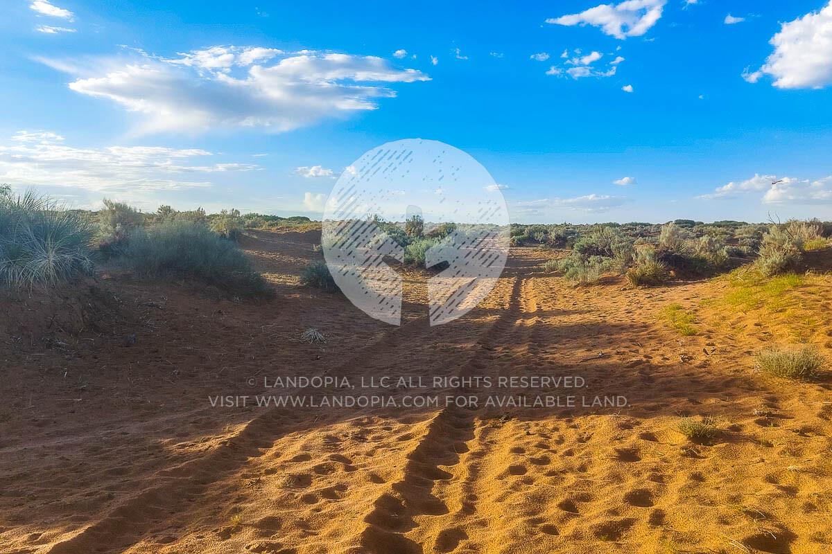
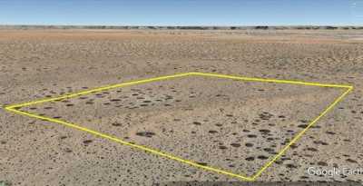
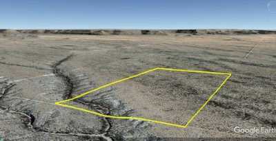
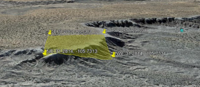
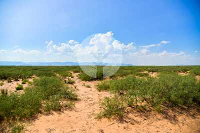
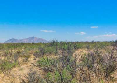
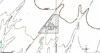
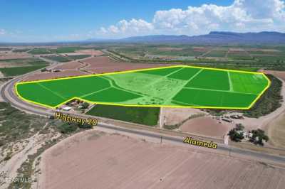
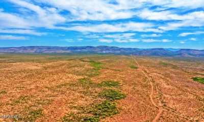
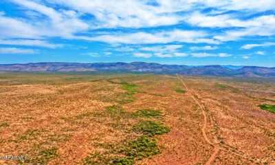
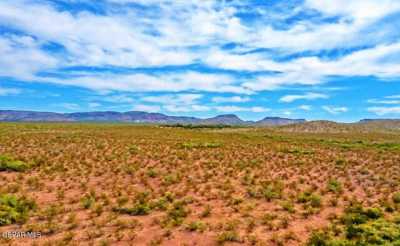
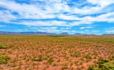
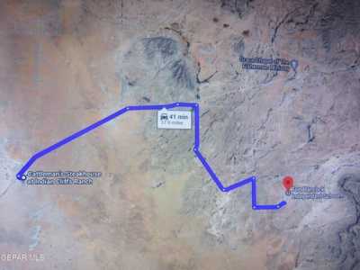
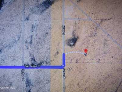
Enjoy 20 plus acres of untouched land in Hudspeth County, Texas near Fort Hancock. A beautiful backdrop of mountain peaks and desert landscape is conveniently located in the northwest corner of Texas, close to both the Mexican and New Mexican borders. Fort Hancock started as a military camp in the late 1800’s, named after General Winfield Scott. Hudspeth County is named for Claude Benton Hudspeth, a state senator and United States Representative from El Paso. The area was a pass through as explorers looked for routes between Texas and California Hudspeth County was formed in 1917 from El Paso County, Texas. There are currently no building restrictions in Hudspeth County so you can camp or bring your RV, you just need to dispose of sewage properly and legally. There is a trail on the southern portion of the lot to access your 20 acre property. The rest is up to you! SUBDIVISION: SUNSET RANCHES UNIT 109 STREET ADDRESS: N/A, near Fort Hancock, TX 79839 STATE: TX COUNTY: Hudspeth County, TX ZIP: 79839 SIZE: 20.01 acres LOT DIMENSIONS: 664 feet x a335 feet APN: 62516 LEGAL DESCRIPTION: TRACT(S) #19, SECTION 46 BLOCK 075 SURVEY TP TWP (if applicable) 5 HUDSPETH COUNTY, TEXAS. A total of 20 acres. Unit 109Surveyor's DescriptionA parcel of land being a portion of Section 46, Block 75, Township 5, T P RR Surveys, Hudspeth County, Texas, also known as Tract 19, SUNSET RANCHES UNIT ONEHUNDRED NINE, and more particularly described by metes and bounds as follows:COMMENCING for reference at the common corner of Sections 2 3, Block 75, Tsp. 6, and Sections 46 47, Block 75, Township 5, found marked by a 2-1/2 galv. iron pipe; thence, North 00 deg. 37 min. 47 sec. West with the west line of said Section 46 for a distance of 1336.61 feet to a ½ rebar with cap RPLS 4680 set; thence, South 89 deg. 48 min. 28 sec. West for a distance of 3286.62 feet to a ½ rebar with cap set, said rebar is the SE corner and POINT OF BEGINNING of this parcel description;THENCE, South 89 deg. 48 min. 28 sec. West with the centerline of a 60 foot wide easement for a distance of 658.22 feet to a ½ rebar with cap set for the SW corner of this parcel;THENCE, North 00 deg. 39 min. 51 sec. West for a distance of 1324.24 feet to a ½ rebar with cap set for the NW corner of this parcel;THENCE, North 89 deg. 48 min. 28 sec. East for a distance of 658.22 feet to a ½ rebar with cap set for the NE corner of this parcel;THENCE, South 00 deg. 39 min. 51 sec. East for a distance of 1324.24 feet to the POINT OF BEGINNING of this parcel.Said parcel contains 20.009 acres, more or less.Said parcel is subject to a 30 foot wide road easement lying adjacent and parallel to the S’ly boundary line which contains 0.453 acres, more or less. GOOGLE MAPS LINK: https://goo.gl/maps/XDZtZjzm8Jjw7MaA9 LAT/LONG COORDINATES: NW: 31.427341, -105.836801 NE: 31.427357, -105.834675 SW: 31.423705, -105.836767 SE: 31.423712, -105.834636 ELEVATION: 4,010 ft ANNUAL TAXES: Approx. $250.00 per year ZONING: None - There is no zoning at this time in Hudspeth County (it is unincorporated), except in the City of Dell City.There are no building restrictions at this time in Hudspeth County. You can camp on your own property. You must have a proper way to dispose of sewage. You can bring your RV on your lot and stay there upon building a home. You just need to dispose of sewage properly and legally. Mobile homes are allowed as there are no building restrictions. Contact (915) 369-4118 for more information. FLOOD ZONE: Unsure HOA/POA: No IMPROVEMENTS: None ACCESS: There is a trail on the southern portion of the lot. WATER: Would be a well, water haul and holding tank or other similar option SEWER: Would be by Septic UTILITIES: Power by solar, wind or generator, Phone by cellular, satellite TV/Internet/Phone

