Residential Land For Sale
$5,490
N7351
Sanders, Arizona, United States
1 acres
Listed By: Landcentury
Listed On: 09/13/2023
Listing ID: GL10758888
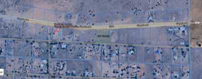
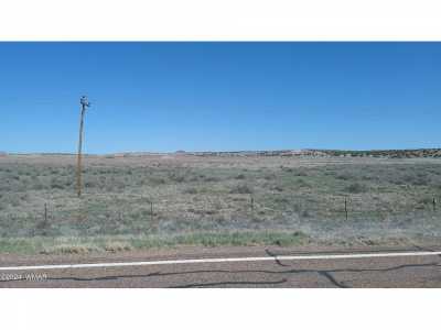
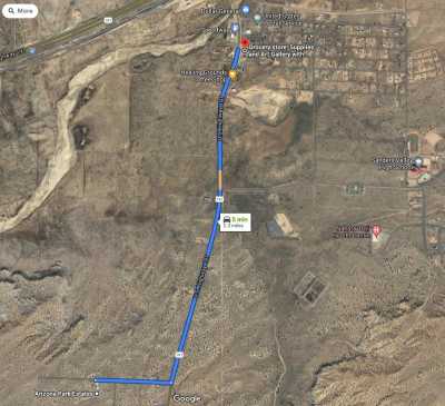
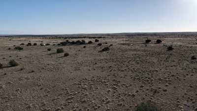
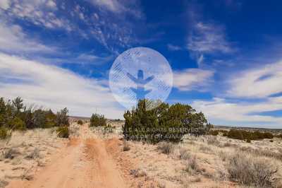
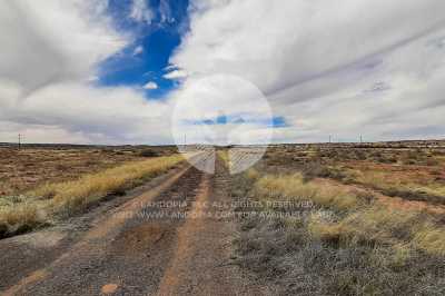
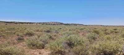
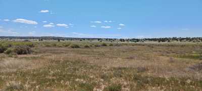
Description
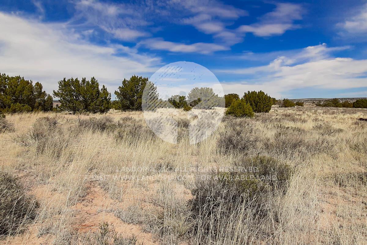
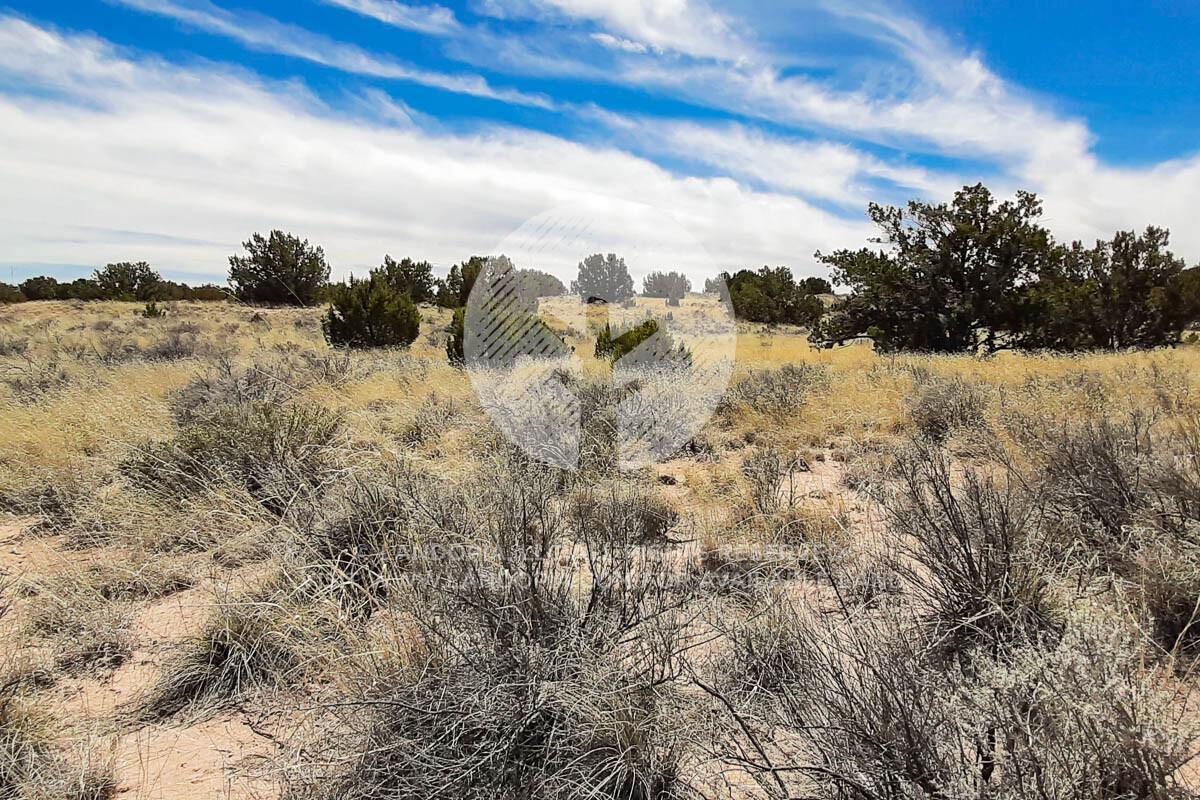
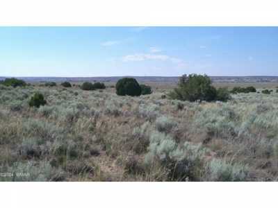
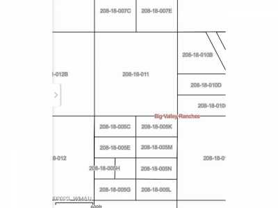
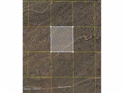
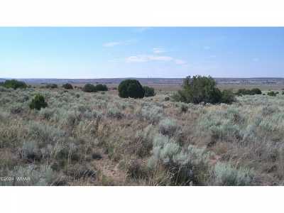
Let's run wild and free in the untamed beauty of Arizona Park Estates! With this rugged one-acre terrain, packed with pinion junipers and cacti, you can have all your adventuring desires satisfied. And if that doesn't quench your thirst for exploration—the neighboring property is also available to make it two full acres! Don’t forget about those friendly townships nearby - ahhhhh feel that mountain air…it'll help bring them dreams of yours alive!! Ready..set.....go!!! Get ready for an amazing journey to the great outdoors of Arizona! With over 450 miles and 2,000 acres of landscape teeming with wildlife - from rivers filled with fish awaiting anglers’ dreams come true, crystal-clear cold water lakes and stunning visual masterpieces worthy of a shutterbug's note book. Apache Country is home to 5,000 farms bursting at the seams after nearly 100 years on that soil. So whoa up 'cause this here land awaits all adventurers looking ta explore Big Game Hunting or Bird Watching – in style! Saddle up your trusty steed, partner - Arizona beckons! She's the land of wide-open spaces and limitless adventures. Forget wild west shootouts; this is a place where opportunity abounds! Ya better act now if ya don't want to miss out on the chance of baggin' yourself some prime real estate…just imagine livin' those sunny days with nothin' but blue skies overhead – ain't no feelin’ quite like it in all these here parts. So c'mon ranch hand, why wait? Grab that piece o’ desert gold an let 'er rip….Yeehaw!! SUBDIVISION: ARIZONA PARK ESTATES STREET ADDRESS: N/A, near Sanders, AZ 86512 STATE: AZ COUNTY: Apache County, AZ ZIP: 86512 SIZE: 1.06 acres LOT DIMENSIONS: 153 feet x 310 feet APN: 207-27-305 LEGAL DESCRIPTION: Lot 643, ARIZONA PARK ESTATE UNIT ONE, according to Book 3 of Townsite Maps, Page 11, records of Apache County, Arizona. GOOGLE MAPS LINK: https://goo.gl/maps/j4MuoTGAWzBWetSr6 LAT/LONG COORDINATES: NW: 35.185923, -109.340822 NE: 35.185901, -109.340311 SW: 35.185082, -109.340823 SE: 35.185066, -109.340313 ELEVATION: 5,795 feet ANNUAL TAXES: Approx. $28 per year ZONING: Agricultural General - No time limit to build. No restrictions on dwelling size. You can build anything for residential purposes such as Single Family, Mobile or Manufactured home.Camping RV's are okay as well (permits required for long-term stay, more than 30 days).RV's should be at least four hundred (400) square feet, constructed to be towed on its own chassis and designed so as to be installed with or without a permanent foundation for human retail occupancy and/or dwelling residence.Camping in an RV’s must be inspected by the Planning and Zoning office to ensure all plumbing and electrical is in working order prior to application approval. It could long term as long as it was approved by the Apache Health Office.Please contact the Apache County Planning Zoning Dept. through Devin Brown at (928) 337-7547. FLOOD ZONE: No HOA/POA: No IMPROVEMENTS: None ACCESS: Property can be accessed via a dirt road on the Northern portion of the lot. WATER: Would be a well, water haul and holding tank or other similar option SEWER: Would be by Septic UTILITIES: The nearest power post is about 650 feet away from the lot. Power could also be by solar, wind or generator, Phone by cellular, satellite TV/Internet/Phone

