
Residential Land For Sale
$2,999
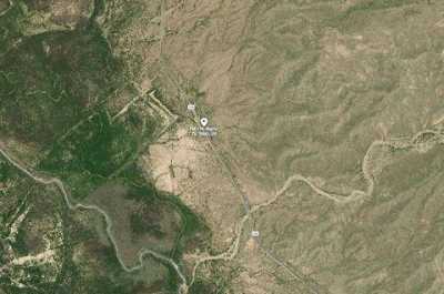
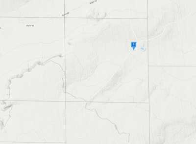
852Q872W+HV
Presidio, Texas, United States
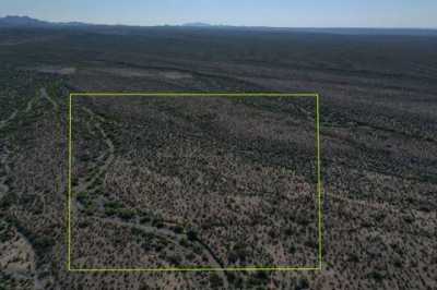
10 acres
Listed By: Landcentury
Listed On: 09/13/2024
Listing ID: GL10758906
Description
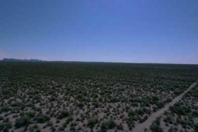
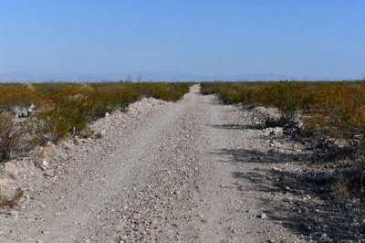
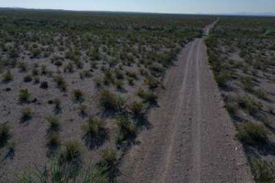
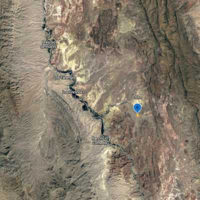
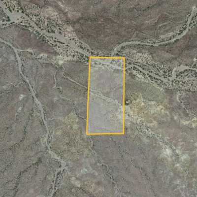
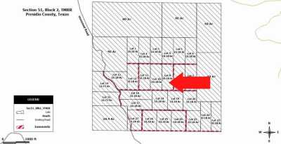
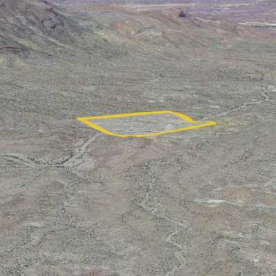
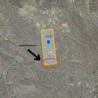
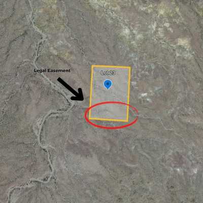
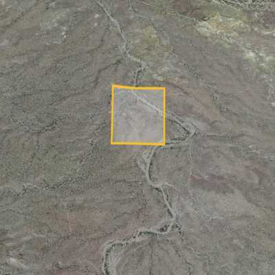
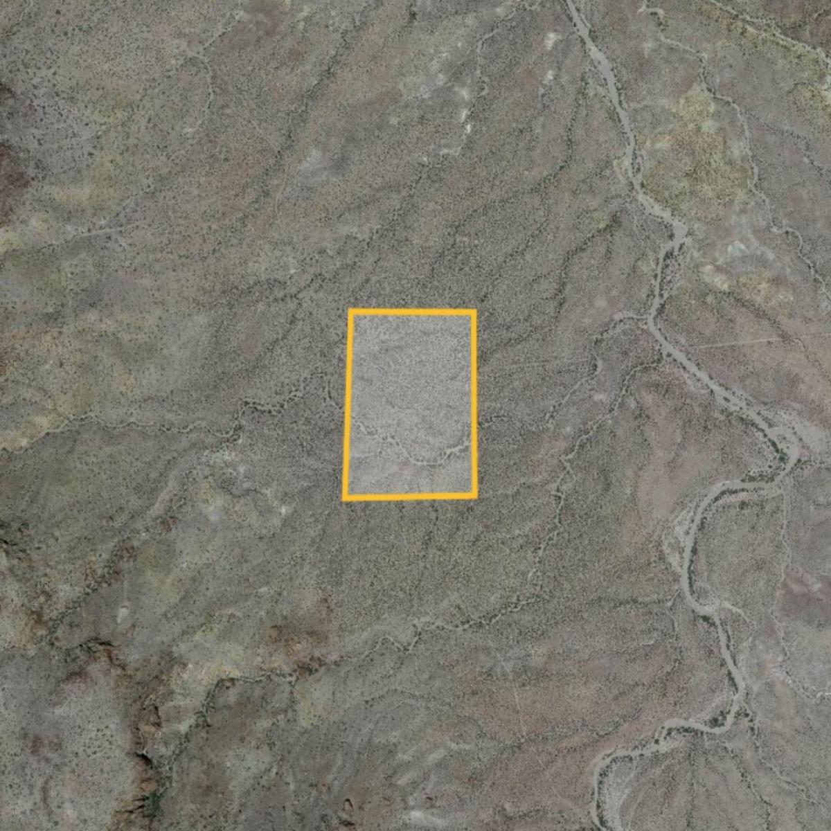
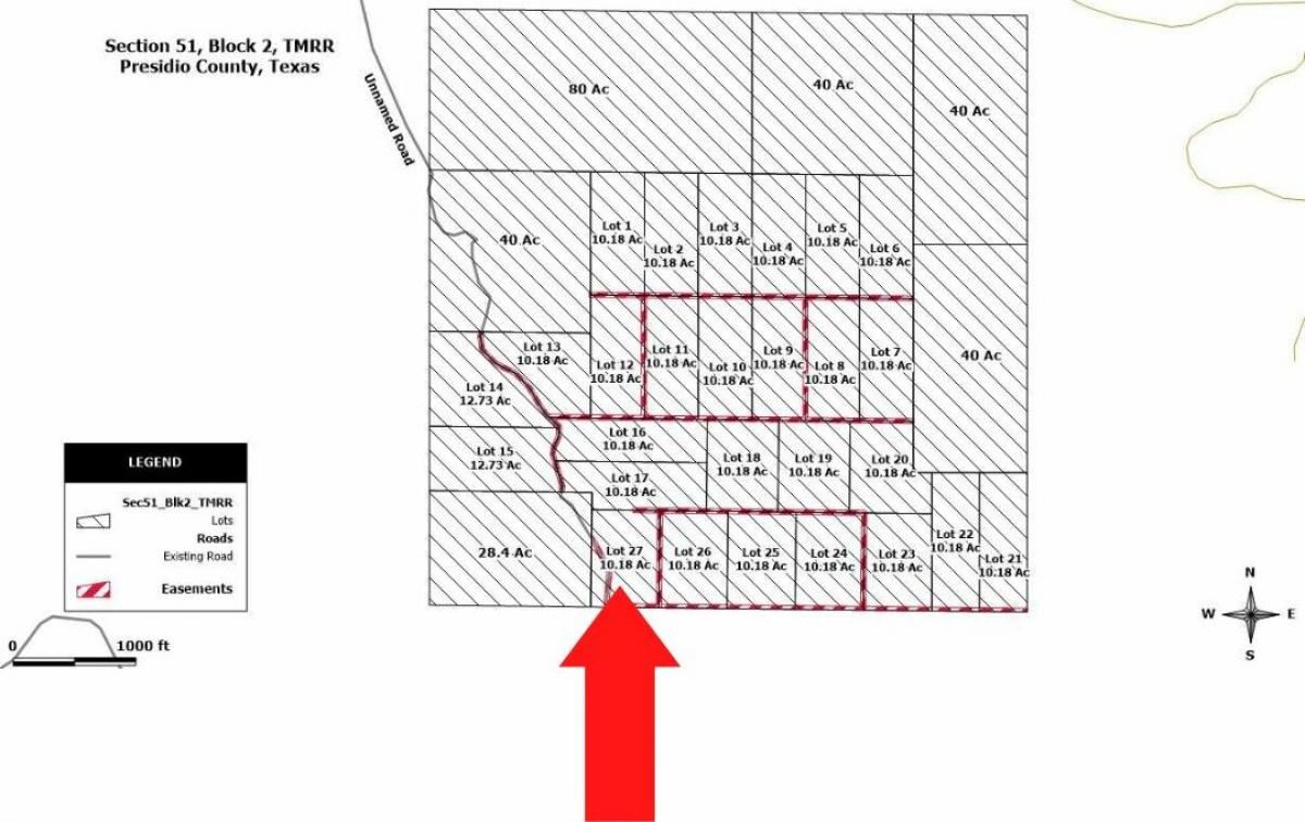
Your gateway to forever begins here! Claim this property in Texas and live your best life daily. Enjoy cascading mountain views, rolling hills, and plains in the distance. This 10.18-acre lot, perfect for country living, is the best place to take things slow or live life your own way. This property is an excellent introduction to off-grid living, perfect for a home or new homestead. Here’s your chance to build your eco-friendly home away from it all and reap the benefits of owning this rare beauty. 852Q872W+HV, Presidio, TX 79845 Parcel: Lot 27 Lot Size Acres: 10.18 Property Type: Vacant Land Zoning: Recreational, Residential Utilities: Please Contact County Deed Type: Special Warranty Deed Road Access: Dirt Road County: Presidio GPS: 30.301412, -104.702771 Legal: LOT 27 A ±10.18 ACRE TRACT OUT OF SECTION 51, BLOCK 2, TM RR COMPANY SURVEY, Description LOT 27 A ±10.18 ACRE TRACT OUT OF SECTION 51, BLOCK 2, TM RR COMPANY SURVEY, Being a tract out of Section 51, Block 2, TM RR Company Survey, Presidio County, Texas, and being more particularly described as: BEGINNING: At a point 4088.17 feet S 00° 08#39; 46quot; W and 1329.10 feet S 89° 11#39; 34quot; E of the Northwest Corner of said Section 51 for the Point of Beginning at the northwest corner of the tract; THENCE: S 89° 11#39; 34quot; E for 558.38 feet to the northeast corner of the tract; THENCE: S 00° 48#39; 46quot; W for 796.39 feet to the southeast corner of the tract; THENCE: N 89° 11#39; 34quot; W for 558.31 feet to the southwest corner of the tract; THENCE: N 00° 48#39; 05quot; E for 796.40 feet to the Point of Beginning at the northwestern corner of the above referenced tract and containing 10.18 acres of land, more or less. This tract is subject to all easements of record and there is a twenty (20’) foot access and utility easement along the north, south, and east sidelines of the tract and a forty (40’) foot access and utility easement centered along the road crossing the tract. The foregoing description is based upon maps and data provided by the owner, the Texas General Land Office and the Texas Railroad Commission and has not been surveyed as of this date.