Residential Land For Sale
$22,500
40 Laurel Road
Crestone, Colorado, United States
4 acres
Listed By: Landcentury
Listed On: 09/13/2023
Listing ID: GL10759030
Description
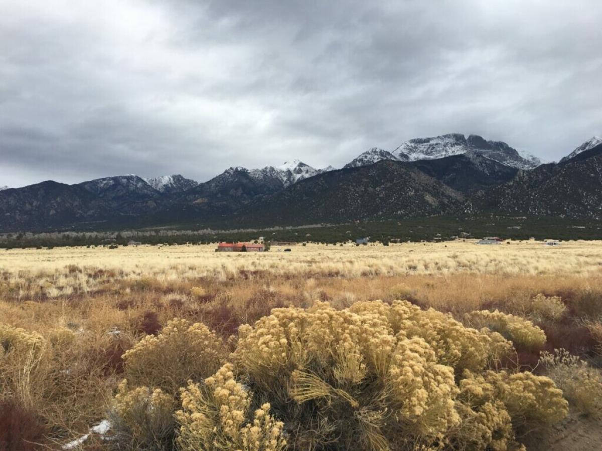
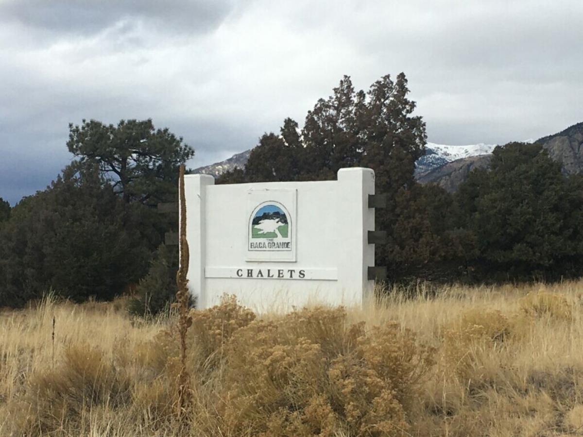
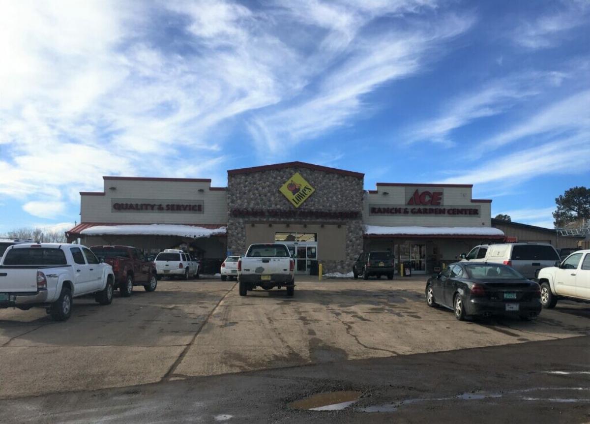
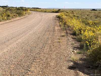
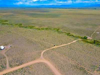
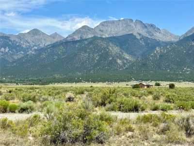
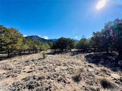
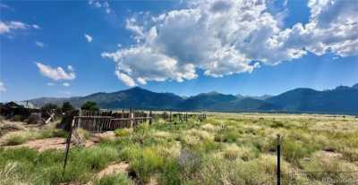
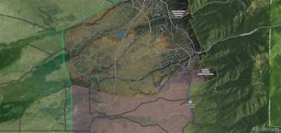
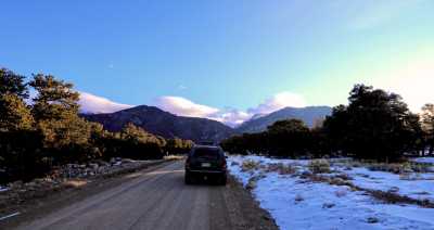
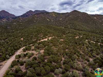
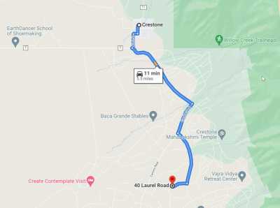
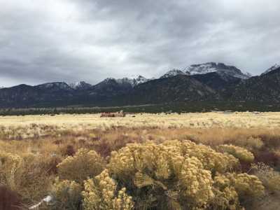
Spectacular views of the mountains. To the east, the Sangre de Cristo Mountains, to the south, the majestic Blanca Peak, and to the west, the vistas of the San Juan Mountains. The Great Sand Dunes National Park and Reserve, as well as the Sand Dunes Hot Springs Pool, are only 30 minutes south of the property, and Alamosa is only an hour away. This 3.55 Acre property is located about 5 miles south of the town of Crestone, which has grocery stores, restaurants, a bank, schools, and art galleries. The next-door parcel on Smoketree Trail, lot 41 around 4 acres, is also available. These properties are situated on a quiet cul-de-sac with a very nice home at the end of the cul-de-sac, 43 Smoketree Trail is listed at $669,000! The lots are flat and easy to access for constructing a beautiful new home or cabin. Although the neighborhood has very nice homes, it is off-the-grid, so you would need a well, a septic system, and solar and propane heating. EZ Owner financing is available! Just a $3,000 Down payment and monthly payments of about $287. Property Details: Street Address 40 LAUREL RD. CRESTONE, CO 81131 APN / Parcel # 460520400010 Account# R014034 County: Saguache State: CO Lot Number: Lot 40 Legal Description: BACA GRANDE GRANTS UNIT I LOT 40 MAP 8 3.55AC. Parcel Size: 3.55 acres Subdivision: BACA GRANDE GRANTS HOA website https://bacapoa.org/ HOA dues approx $690 year Property taxes approx.. $94.32 GPS Center Coordinates (Approximate): 37.9366776563151,-105.684680168008 ;37.9368325610851,-105.684389630338 ;37.9370012924102,-105.684050147852 ;37.9371702592975,-105.683664070744 ;37.9373438628782,-105.68325848738 ;37.9373712112231,-105.683206460913 ;37.937433978,-105.683262517111 ;37.9374698605325,-105.68329166103 ;37.9376179366533,-105.683401491871 ;37.9378288262709,-105.683559194747 ;37.9380621110923,-105.683739164236 ;37.9380710918101,-105.683744584632 ;37.9373181773976,-105.685353239446 ;37.93660485562,-105.684801475613 Google Map Link: Here Elevation: 7773 feet approx

