Residential Land For Sale
€41,000
Medicine Bow, Wyoming, United States
14,908,600 sqm
Listed By: Listanza Services Group
Listed On: 06/09/2023
Listing ID: GL5293563 View More Details
Description
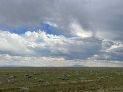
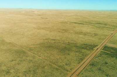
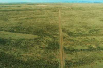
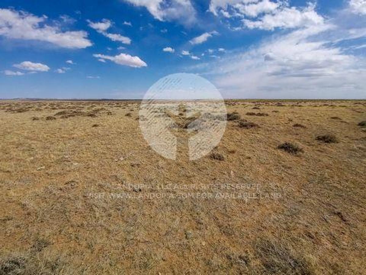
Located in Medicine Bow.Get away from the hustle and bustle and build your family retreat in Medicine Bow, WY. This picturesque 36 acres of land in the Wytex Ranch subdivision is perfect for a building site or to set up family camp and bring your RVs. You will be in driving distance to great fishing at Wheatland Reservoir, Pathfinder and Seminoe Reservoirs. Hunt elk, antelope and deer right on your property. Ski close by at Snowy Range Ski Area or make a ski getaway for the weekend to Salt Lake City. Climb at Vedauwoo climbing area or explore the Medicine Bow Mountains. Your weekend getaway, family camp, or off-the-grid retreat is waiting for you to call it home in the Wild West. Set up your septic, a well, water haul or holding tank, and solar, wind or generator and you're good to go! Don't worry, there's cellular phone service here, so even though you're off the beaten path, you're still connected. SUBDIVISION: WYTEX RNCH PH3 STREET ADDRESS: N/A, near Man O War Dr, Medicine Bow, WY 82329 STATE: WY COUNTY: Albany County, WY ZIP: 82329 SIZE: 36.84 acres LOT DIMENSIONS: 1336 feet x 1212 feet APN: 05-2376-08-4-03-015.00 LEGAL DESCRIPTION: Tract 69C, Wy-Tex Ranch Survey-Phase 3, being all of Sections 7, 8 9, Township 23 North, Range 76 West of the 6th P.M., Albany County, Wyoming, as shown on the Record of Survey recorded January 6, 1999 under Doc #1999 63, and Amended March 20, 2000 under Doc #2000 1317, Albany County, Wyoming records. This tract consists of 36.835 acres. REFERENCE NUMBER: WT-69C EXCEPTING THEREFROM THIS CONVEYANCE AND RESERVING UNTO THE GRANTOR, AND THE GRANTOR'S SUCCESSORS AND ASSIGNS, a general non-exclusive sixty foot (60') road easement for ingress and egress and an eighty foot (80') easement for public utility lines across the above-described land. Said easement being described as thirty feet (30') and forty feet (40') respectively to either side of the center line of any existing roads crossing the subject property, or as planned to cross subject property as shown on attached Exhibit(s) No exhibits, if any, and as shown and described in Certificate of Survey Number(s) 2000 1317. TOGETHER WITH all tenements, hereditaments and appurtenances thereto belonging, including any water rights, appurtenant to this property, including a general non-exclusive sixty foot (60') easement for ingress and egress from the above-described lot or tract and an eighty foot (80') easement for public utilities. Said easements being described as thirty feet (30') and forty feet (40') respectively to either side of the center line of any existing roads crossing the subject property, or as planned to cross subject property as shown on attached Exhibit(s) No exhibits, if any, and as shown and described in Certificate of Survey Number(s) 2000 1317. GOOGLE MAPS LINK: https://goo.gl/maps/pqj5CZZwjLTBb3VP6 LAT/LONG COORDINATES: NW: 41.977181°, -105.966311° NE: 41.977225°, -105.961974° SW: 41.973558°, -105.966260° SE: 41.973583°, -105.961929° ELEVATION: 6,818 ft ANNUAL TAXES: Approx. $160.00 per year ZONING: Rural Residential - One Dwelling unit per 5 acres. Tent camping is permitted. RV camping is permitted so long as it does not exceed six months (at that time it would be considered a permanent structure and would need to be applied for as such).The county also allows mobile homes. Please contact Albany County Planning Office (307) 721-2568. HOA/POA: No IMPROVEMENTS: None ACCESS: There is no road leading to the lot directly but there are some dirt roads nearby. WATER: Would be a well, water haul and holding tank or other similar option SEWER: Would be by Septic UTILITIES: Power by solar, wind or generator, Phone by cellular, satellite TV/Internet/Phone

